Another Debate with a Globie
- slopetester88
- Dec 8, 2020
- 2 min read

So I have an old friend who seems to believe the Sea is Level but the Earth is still curved. Recently, he sent me a clip entitled the "Happy tourist from Netherlands flys to the Edge of Space" in a Russian MIG-29, back in in September 2015. This fellow seems to believe that it's necessary to travel higher that the average commercial jet before the Earth's alleged curvature reveals itself. The chatter between the MIG pilot and the Dutch tourist in the clip reveals their highest point during the flight to be 14 kilometres, which is 45,920 feet (14,000 x 3.28), or about 10-12,000 feet higher than the average commercial jet. You can watch the clip below -- the best views of the Earth's horizon start about Minute 7 :
I watched the clip closely, knowing fell well what I would see, and captured a couple of screenshots, from 14 kilometers high. I returned the images to my friend and thanked him for proving making my case, and proving that all real photos of the horizon reveal horizontal, like the Sea. Here are the two best shots which clearly reveal a flat horizon (hold a ruler or straight edge to it):


My friend did the same, and then returned this screenshot to me ...

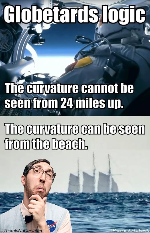
... to which I replied with this image, below, and added that he should google up what is a "fish eye" lens and how it works!

I then reminded him of Chris Hadfield's photo below, from his book, to which Chris claims was taken during his (alleged) journey from Earth to the International Space Station:

My friend looked responded that there appears to be a "slight curve" in the Hadfield photo?
I suggested he look again, and this time with his glasses on! I also reminded him that from this elevation (my estimate) of 150,000 feet, the photo reveals approximately 200 miles of horizon, and that according to his globe model (3959 mile radius) there is supposed to be 26,332 feet of curvature at this distance , or just under 5 miles.
The debate was gone quiet for the moment ...


"to which I replied with this image, below, and added that he should google" Only losers use g00gle
" up what is a "fish eye" lens and how it works! " LOL. So that means your 'proof' iis a load of bollox then. Keep up the good work proving you're as thick as shite.
level
noun [ C ]
UK /ˈlev.əl/ US /ˈlev.əl/
level noun [C] (HEIGHT)
the height of something:
The water level in the lake is much higher after heavy rain.
the amount or number of something:
someone's ability compared to other people:
a floor in a large building:
a position within a system in which people are arranged according to their importance
https://www.collinsdictionary.com/dictionary/english/level
level
ˈlɛv(ə)l
noun
a horizontal plane or line with respect to the distance above or below a given point.
a height or distance from the ground or another stated or understood base.
a floor within a multistorey building.
a position on a scale of amount, quantity, extent, or quality.
an intellectual, social, or moral standard.
Incontrovertible conclusion. slopetester88…
How stupid can one be to not know that sea level has nothing to do with 'flat' and level has numerous meanings?
just one quick search provides the facts as opposed to wilful disinformation.
https://www.ecosia.org/search?method=index&q=admiralty%20sealevel
"So I have an old friend who seems to believe the Sea is Level but the Earth is still curved. "
Of course, because all sane people know sea level does not mean flat but refers to height, as in MSL, mean sea level.
"Height above mean sea level is a measure of the vertical distance (height, elevation or altitude) of a location in reference to a historic mean sea level taken as a vertical datum. In geodesy, it is formalized as orthometric heights."
"Although the term altitude is commonly used to mean the height above sea level of a location, in geography the term elevation is often preferred for this usage."
https://en.wikipedia.org/wiki/Height_above_mean_sea_level
Always happy to provide facts for those…
"The debate was gone quiet for the moment ... " Yes, because you cherry pick.
"So I have an old friend who seems to believe the Sea is Level but the Earth is still curved. " Correct, and you are obviously semi-literate ( or dishonest) and don't know level does not mean flat in the cotect, does it, it means altitude as any sane person knows. What level is your flat on?
Why is a circular tyre flat? Why is it that Flat Earth cultists believe playing infantile word games is clever when it is actually a sign of illiteracy?